Charlevoix Is a Crater
Hundreds of millions of years ago a meteorite struck the north shore of the St. Lawrence and shaped the Charlevoix we know: its valleys, its villages, even where people live. How to read the landscape.
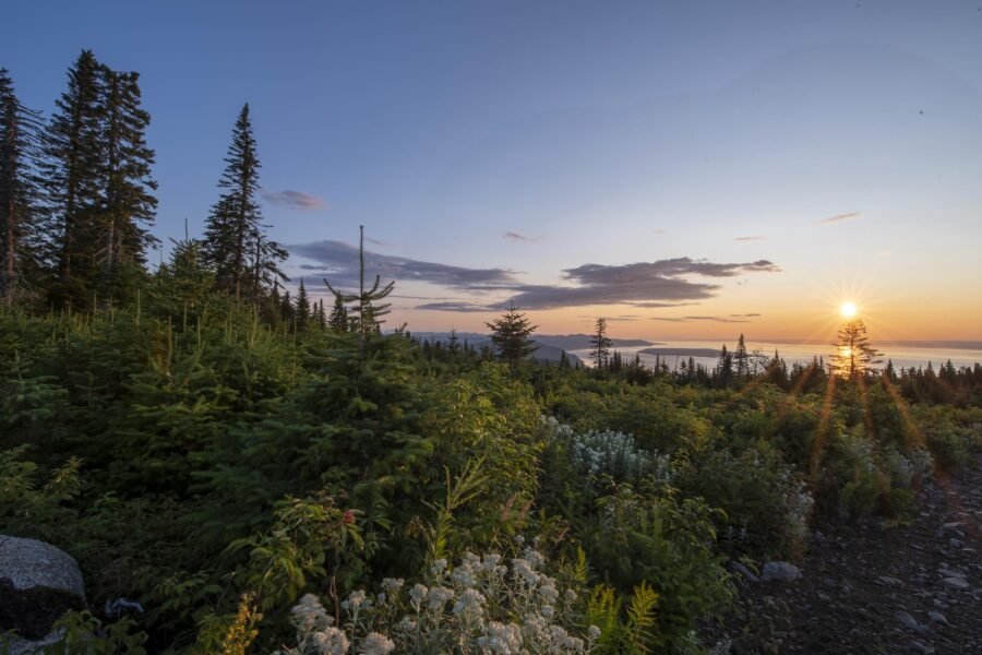
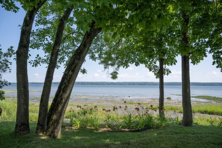
Charlevoix’s tourism office opens its guide with a startling idea: the region was made by a meteorite. It isn’t marketing. The rolling valleys between Baie-Saint-Paul and La Malbaie, the mountain at their centre and the curve of the coast are the remains of one of the largest impact structures in eastern North America. Once you know that, you can’t stop seeing it.
What happened
A meteorite struck what is now the north shore of the St. Lawrence and left a crater about 54 km across. Its age has been revised over the years. Older references give about 342 million years; a 2019 study of the impact rocks put it at about 450 million years, and that is the figure current databases use. Either way, it predates the dinosaurs by a very long time.
Geologist Jehan Rondot identified the impact in the mid-1960s, after finding shatter cones, rock formations created only by the extreme pressure of an impact. The river has since swallowed part of the structure, leaving a little more than half visible on land.
What it left
A central peak. Mont des Éboulements, at around 770 metres, rises in the middle of the crater: the floor of the crater rebounded after the impact, a classic feature of large impact structures.
A gentler landscape. The surrounding Canadian Shield is high and hard to farm. Inside the crater, the ground dropped into valleys and plateaus, which is why roughly 90 per cent of Charlevoix’s residents live within it.
Read next · GuideBaie-Saint-Paul's Galleries: A Buyer's Guide2 min →Earthquakes. Charlevoix sits in one of eastern Canada’s most active seismic zones. A major earthquake struck in 1663, and the area is monitored closely today. Geologists link the activity mainly to old faults reactivating; the impact’s fracturing of the rock may also play a part.
A biosphere reserve. The mix of river, valley, plateau and high Shield created unusually varied habitats, part of why UNESCO designated the Charlevoix Biosphere Reserve in 1988.
Sources
- Wikipedia
- Wikipédia
- Schmieder et al., Meteoritics & Planetary Science, 2019
- Impact Earth database, Western University
- Crater Explorer
- Wikipedia
- UNESCO
- François Charron, crater lookout
Where to stay near Les Éboulements
Map by Stay22. If you book through it we may earn a commission, at no cost to you. It never decides what we write.

Andrew Lovesey is Editor-in-Chief of Not An Atlas, and always on the hunt for the next big thing: where to go, where to stay and what's worth the photo. His first trip was to the family cottage in Prince Edward Island, all rolling hills, red sand cliffs and jellyfish drifting in the North Atlantic. He'll sit anywhere but the middle seat (no armrest wars), never flies without the adapter that lets his AirPods play the in-flight movie, and has eaten at a McDonald's in every country he's visited. Iceland gets a pass because it doesn't have one. He once learned to bead earrings from Aleqa Hammond, Greenland's first female premier, on a ship in the Northwest Passage, and will tell anyone who'll listen that Cincinnati is wildly underrated. Friends say charming, driven and loyal. His mum says persuasive. Next stop: Greece.